Historical Weather: Tambora and the Year Without a Summer
Mount Tambora's 1815 eruption cooled the Northern Hemisphere by up to 0.7°C and wrecked the 1816 growing season across Europe and New England.
On April 10, 1815, Mount Tambora on the island of Sumbawa erupted with a force roughly four times greater than Krakatoa's 1883 event, ejecting an estimated 150 cubic kilometers of material into the stratosphere. The sulfur dioxide it released — somewhere between 60 and 120 million tons by current estimates — formed aerosol veils that circled the planet and reduced incoming solar radiation by a measurable fraction for the next two years. The Northern Hemisphere's average surface temperature dropped by roughly 0.4 to 0.7°C. That number sounds modest. The consequences were not.
 NASA
NASA
The Year Without a Summer and What Followed
By June 1816, snow was falling in New England. Frost killed crops in Quebec in July and again in August. In Europe, grain harvests across France, Germany, and Ireland failed in sequence. Switzerland recorded its coldest summer in 500 years of tree-ring records. The resulting famine killed an estimated 200,000 people in Europe alone, with additional mortality across the Ottoman Empire and South Asia that remains difficult to quantify.
What makes 1816 instructive rather than merely grim is the cascade it triggered beyond food supply. The horse die-offs from fodder shortages in Germany and France accelerated Karl Drais's development of the Laufmaschine — the direct precursor to the bicycle — because he was looking for a horse-independent form of transport. Mary Shelley, trapped indoors at Lake Geneva by the relentless cold rain of that summer, wrote Frankenstein. These are footnotes. The more significant consequence was political: food riots in France contributed to the instability that shaped the post-Napoleonic settlement, and the famine migrations from Europe to North America in 1816–1817 prefigured the larger demographic shifts of the 1840s.
The lesson Tambora carries forward is about the gap between a geophysical event and its social footprint. The eruption itself lasted days. The aerosol forcing lasted roughly 18 months. The political and economic disruption lasted a decade.
Galveston, 1900, and the Architecture of Vulnerability
On September 8, 1900, a Category 4 hurricane made landfall at Galveston, Texas. The storm surge reached 15 feet. The island's highest natural elevation was about 8.7 feet. Between 6,000 and 12,000 people died — the range reflects how thoroughly the storm destroyed the records needed to count them. It remains the deadliest natural disaster in US history by a margin that no subsequent event has closed.
The meteorological facts are well-documented. Less discussed is what Galveston's chief meteorologist, Isaac Cline, got wrong. In 1891, Cline had published an essay arguing that a hurricane could not cause a destructive storm surge on the Texas coast, citing the gradual offshore slope and prevailing winds. His confidence in that analysis contributed to a culture of low preparedness on an island with no seawall, no evacuation infrastructure, and 37,000 residents living at or below sea level. The storm did not behave according to Cline's theory.
Galveston was rebuilt — with a seawall that now reaches 17 feet and a grade-raising project that elevated the city's surface by as much as 17 feet in some sections, accomplished by pumping dredged sand under existing structures. That engineering response is one of the more audacious urban interventions in American history. Houston, not Galveston, became the dominant Gulf port city. Geography and catastrophe together rewrote the region's economic map.
 MODIS Land Rapid Response Team, NASA GSFC
The Dust Bowl as a Coupled Failure
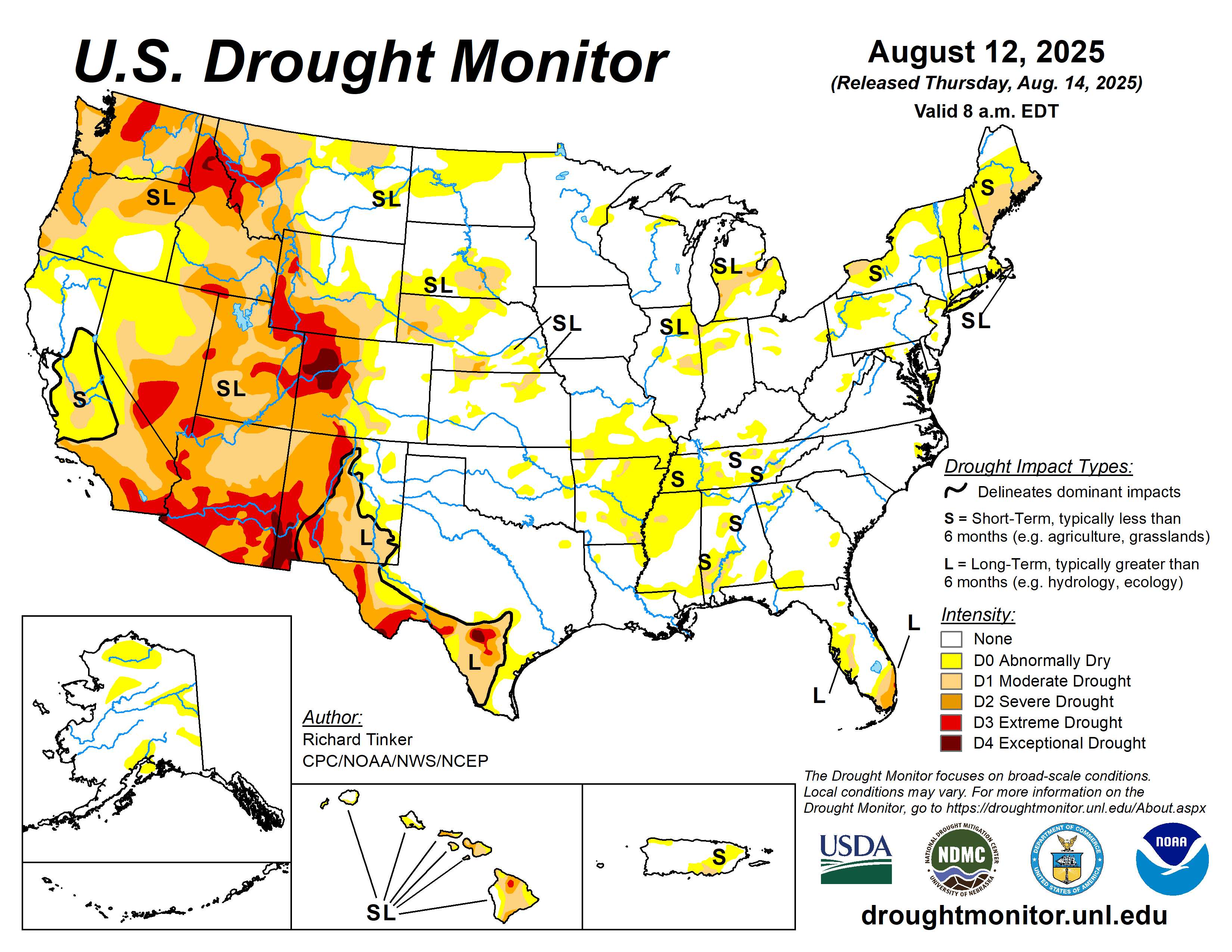
The 1930s Dust Bowl is sometimes framed as a drought story. It was also a soil management story, and the interaction between the two is what made it catastrophic. The Southern Plains had been plowed on a scale unprecedented in the region's history during the wheat boom of the 1910s and 1920s, removing the native grasses whose root systems held the topsoil in place. When the multi-year drought arrived — centered on 1934 and 1936, with the 1936 heat wave producing all-time temperature records that still stand in several states — there was nothing to anchor the exposed soil.
The Black Sunday dust storm of April 14, 1935, moved a wall of debris estimated at 1,000 feet high across the Oklahoma and Texas panhandles at roughly 60 mph, reducing visibility to zero for hours. By 1940, roughly 2.5 million people had left the Plains states. The federal government's response — the Soil Conservation Service, established in 1935, and the Shelterbelt Project that planted 220 million trees across the Great Plains — represents the first large-scale attempt to engineer a regional climate buffer through land use.
The lesson is not that drought causes displacement. It is that drought operating on a landscape already stripped of its resilience causes displacement. The physical event and the land-use decision are inseparable.
What to Watch
- The 1816 aerosol forcing from Tambora is now a calibration benchmark for modern volcanic risk models; when the next VEI-7 eruption occurs, the first 90 days of stratospheric aerosol loading will be the number to track.
- Galveston's seawall was designed for a 1900-era storm climatology; sea level rise of roughly 0.5 feet since then has already reduced its effective protection margin, a calculation that applies to every coastal defense structure built before 1980.
- The Great Plains soil carbon stocks depleted during the Dust Bowl have not fully recovered; current drought monitoring for the region should be read against land-use maps, not just precipitation anomalies.
USDA / NDMC