
Tropical Systems: By October 3, the Gulf of America's sea
By October 3, the Gulf of America's sea surface temperatures off the Louisiana coast were still sitting near 29°C — roughly 1.5 degrees above the 1991–2020
By October 3, the Gulf of America's sea surface temperatures off the Louisiana coast were still sitting near 29°C — roughly 1.5 degrees above the 1991–2020 climatological average for that date. That number explains most of what Tropical Storm Isaias is doing right now, and why forecasters are watching it more carefully than a mid-October Gulf disturbance would normally warrant.
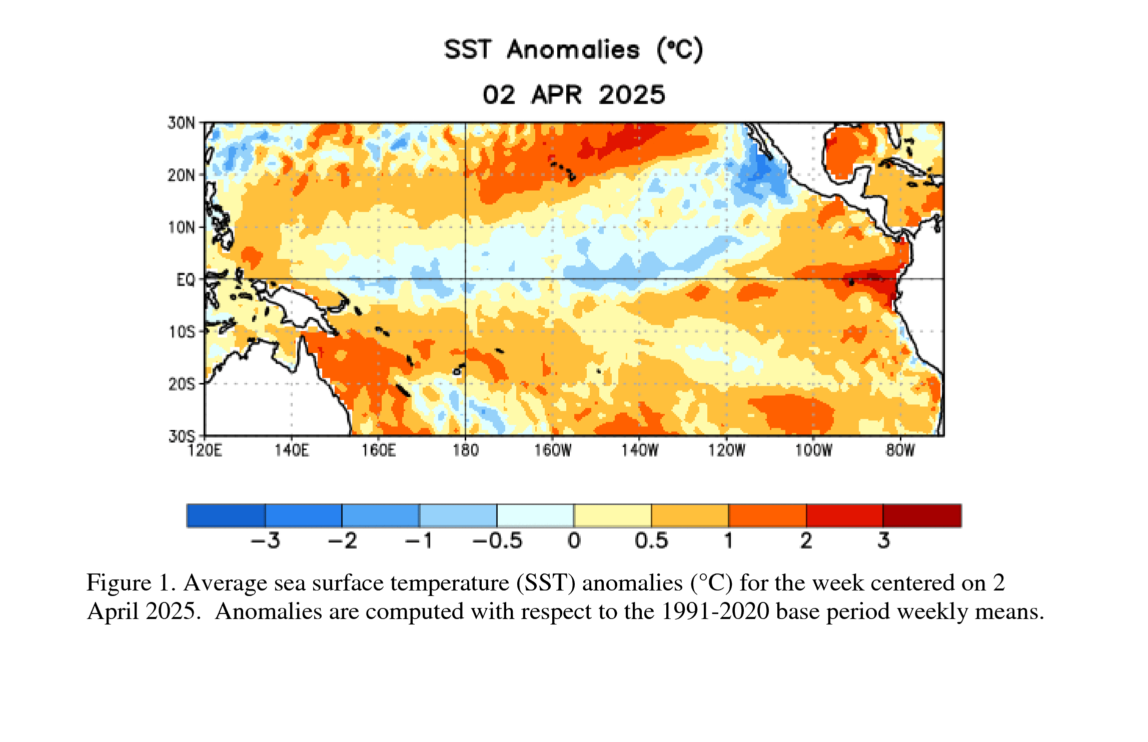 NOAA CPC
Isaias (AL092026) organized quickly. Public Advisory 4a from the National Hurricane Center placed the storm on a track toward the northern Gulf coast, with the primary hazard flagged not as wind but as storm surge — the NHC's potential storm surge flooding maps showed a corridor of 3-to-5-foot inundation risk along portions of the Louisiana and Mississippi coastlines. That asymmetry matters: a tropical storm's surge potential is governed by forward speed, track angle relative to the coast, and bathymetry, not just maximum sustained winds. A slow-moving system hitting a shallow-shelf coastline at a high angle can produce surge that outpaces what the wind category implies.
NOAA / National Hurricane Center
Why October Still Produces Gulf Storms
The Atlantic hurricane season peaks around September 10 by climatology, then decays. But "decays" is doing a lot of work in that sentence. The Gulf of Mexico is semi-enclosed, and its upper layer holds heat longer than the open Atlantic because there's less upwelling and less lateral mixing with cooler water masses. A storm tracking over the Gulf doesn't encounter the same cold-wake problem that weakens systems over the deep Atlantic — where a slow-moving hurricane can churn up its own cold water from below and cut off the heat source it needs to survive.
The other variable keeping October Gulf activity alive in 2026 is vertical wind shear. Shear — the change in wind speed and direction with altitude — is the primary structural threat to a developing cyclone. High shear tilts the storm's vertical column, separating the low-level inflow from the upper-level outflow and effectively starving the convective engine. October in the Gulf typically brings increasing shear as the subtropical jet strengthens, but in years when the jet is displaced or the MJO is in a favorable phase, that suppression arrives late. The Madden-Julian Oscillation, a pulse of enhanced and suppressed convection that circles the tropics on a 30-to-60-day cycle, can tip the shear environment either way — and in early October 2026, its positioning has left portions of the Gulf in a relatively low-shear window.
The Pacific Counterpart
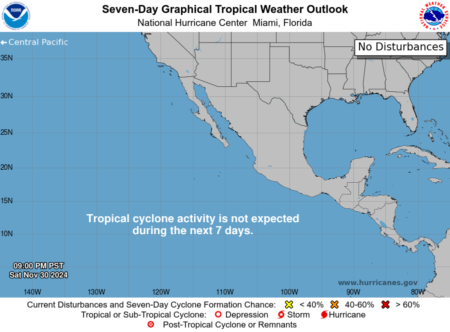
While Isaias organizes in the Gulf, Hurricane Rachel is tracking across the Eastern Pacific — a reminder that October is not an off-season in that basin. The Eastern Pacific hurricane season runs June 15 through November 30, and its peak, unlike the Atlantic's, is driven partly by the Inter-Tropical Convergence Zone sitting closer to the Mexican coast. Rachel's presence offers a useful dual-basin comparison: both systems are heat engines running on the same thermodynamic fuel, but they're operating in basins with different shear climatologies, different SST gradients, and different landmass interactions.
The Eastern Pacific also produces rapid intensification events at rates that sometimes surprise even experienced forecasters. Rapid intensification — defined as a 35-knot increase in maximum sustained winds within 24 hours — is more common in the Pacific than the Atlantic partly because the Pacific lacks the dry Saharan air layer that frequently intrudes into the Atlantic's main development region and disrupts convective organization. Rachel's track keeps it offshore for now, but Eastern Pacific storms that recurve toward the Baja Peninsula or the Mexican mainland can deliver catastrophic rainfall even after weakening, because the moisture column they carry doesn't dissipate as quickly as the wind field does.
What Dual-Basin Activity Reveals
Having two named systems active simultaneously in adjacent basins in early October is not unprecedented, but it's a useful moment to recognize that "hurricane season" is a bureaucratic container for a physical process that doesn't observe calendar boundaries. The underlying driver — a warm ocean surface beneath a conditionally unstable atmosphere, with enough rotation imparted by the Coriolis effect to organize convection into a coherent vortex — doesn't switch off in October. It just becomes statistically less likely.
Isaias and Rachel together illustrate the range of outcomes that late-season activity can produce: a Gulf storm whose primary threat is coastal flooding driven by surge geometry, and a Pacific hurricane whose primary legacy may be inland rainfall delivered hundreds of miles from where it made landfall. The wind speed on the advisory graphic is the least interesting number in both cases. The water — where it goes, how fast, and how far inland the topography lets it reach — is what determines the damage.
 NOAA / National Hurricane Center