This Week in Weather
Rearview of the past 7 days and the pattern shaping the week ahead.
Rearview
The week's severe weather ledger closed with 574 tornado emergency and severe thunderstorm warnings, 37 tornado warnings, and 639 combined hail and wind reports — enough volume to rank this as an active late-May period by any modern baseline.
The sharpest sequence came out of southeast Missouri on the evening of May 31. Three separate tornado warnings covered Ripley County between 3:46 p.m. and 4:43 p.m. CDT, with a fourth pulling in Butler County at 4:07 p.m. CDT — all issued by the Paducah NWS office. Four warnings in under an hour from a single office, all converging on the same county, indicates a persistent, slow-moving supercell rather than a fast-moving squall line. Ripley County is rugged Ozark terrain, which complicates both storm motion and warning lead time.
 M. Klüver / Wikimedia
Earlier that same day, Colorado and Nebraska were active well before sunset. Phillips and Sedgwick counties in northeastern Colorado received tornado warnings at 6:04 p.m. and 6:39 p.m. MDT respectively, while Lincoln County in Nebraska was warned at 6:38 p.m. MDT — two states, three warnings, within 35 minutes. The Colorado warnings came from the Boulder office; the Nebraska warning from North Platte.
Nebraska led all states for the week with 77 storm reports. Texas followed at 67, Kansas at 57. Virginia's 52 reports are notable given that it's not a traditional severe weather epicenter — that count likely reflects a wind-dominant event pushing through the mid-Atlantic corridor.
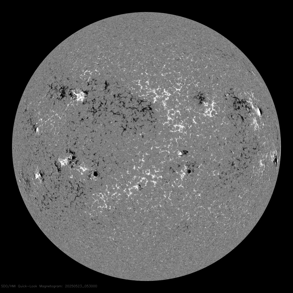
On May 29, the sun produced an M1.2 X-ray flare at 7:04 a.m. UTC. No significant geomagnetic response followed; the weekly Kp maximum held at 0.
NASA SDO
Chile absorbed two significant earthquakes within days of each other: an M6.9 29 km ENE of Calama on May 25, and an M6.0 36 km NW of Valparaíso. Both events fall within Chile's well-documented subduction and crustal fault zones, but neither appears to have generated a tsunami warning.
Late-season supercells over the central Plains tend to persist longer when low-level wind shear remains organized through the evening hours.
Roadmap
The dominant feature shaping the next seven days is a building ridge across the southern tier of the country, paired with a more active trough regime across the Rockies and central Plains. The jet stream is positioned to allow repeated shortwave disturbances to dig into the Mountain West and eject northeast — the same basic architecture that produced last week's Colorado and Nebraska events. No single catastrophic outbreak is implied, but the setup sustains a multi-day window for organized convection across the Plains and Midwest.
South Plains and Mountain West. Dallas averages 93°F through the week, with 0.40 inches of total precipitation and a 47% peak probability on June 6. That probability spike on a Friday aligns with a shortwave passage — watch for afternoon convection that could organize into supercells given sufficient low-level moisture and shear. Denver's outlook is wetter: 0.64 inches forecast for the week, with the highest probability (53%) on June 2. That's a Monday afternoon setup, likely tied to upslope flow and an approaching trough. Denver at 86°F average high means the atmosphere has energy to work with; the question is how efficiently the trough forces lift.
Midwest. Chicago averages 73°F with 0.10 inches of precipitation and a 43% probability on June 6 — the same Friday system affecting Dallas, arriving in weakened form after traversing the Plains. The lower temperature and modest moisture compared to Texas means any severe weather would likely be wind-dominant rather than tornado-focused. Still worth watching if the shortwave retains organization through the Ohio Valley.
Northeast and Southeast. Both regions sit under suppressed conditions for most of the week. New York City averages 81°F with essentially no precipitation — a ridge-dominated pattern that keeps the area dry through at least June 5. Atlanta at 84°F carries a 35% probability on June 2, the only meaningful signal in the Southeast this week. That's a localized convective threat rather than a synoptic event, likely driven by afternoon instability ahead of any approaching moisture.
A persistent ridge over the eastern U.S. compresses the active weather zone into the central Plains and Mountain West.
International. London holds at 67°F average high — unremarkable for early June, and consistent with a more zonal Atlantic flow pattern rather than the amplified blocking that drove anomalous warmth earlier this spring. No significant precipitation signal in the forecast.
Upslope flow events along the Front Range can trigger convection that outpaces model timing — the June 2 Denver window is worth watching closely.
Field Notes
- If you are in the South Plains or Denver metro on June 2 or June 6, check afternoon model runs for convective initiation timing — both days carry probability signatures consistent with organized storm development, not just random afternoon showers.
- Virginia's 52 storm reports this past week are a reminder that mid-Atlantic wind events in late May can be severe without the tornado headlines; if you operate infrastructure or manage outdoor events in that region, the June 6 Midwest shortwave is worth tracking as it approaches.
- The M6.9 near Calama, Chile sits in the Atacama region, one of the most seismically active stretches of the Andean subduction zone — no tsunami was generated, but the sequence bears watching for aftershock activity in the days ahead.
 USDA / NDMC